Officials are expected to shift resources to Hagelstein Fire in Klamath County crews
By Steve Mitchell, Ashland.news
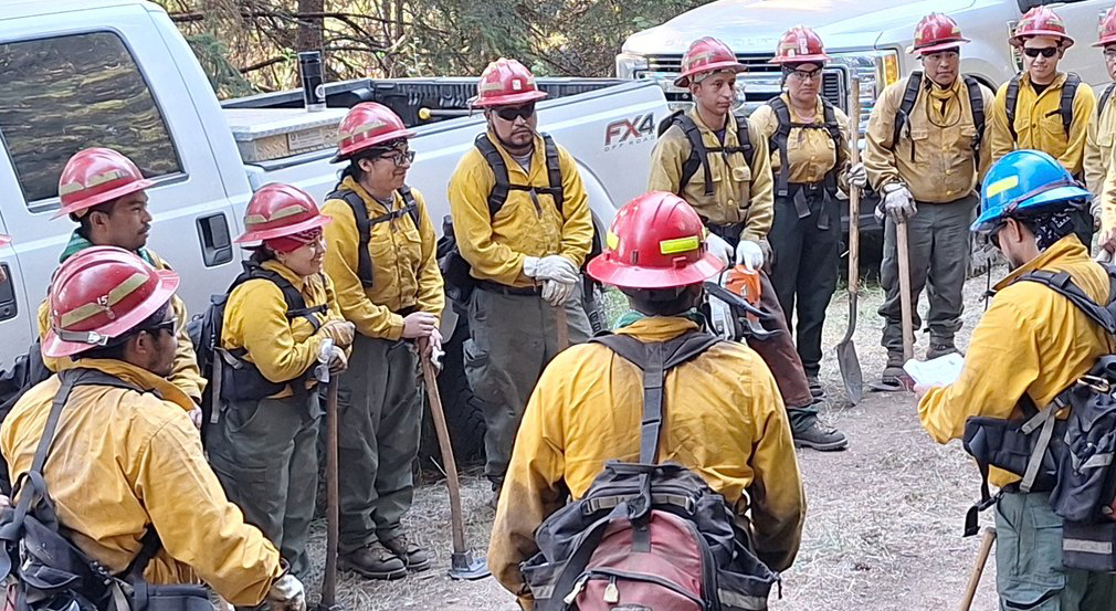
Fire crews continue to work Tuesday on containing more than 70 fires in Jackson and Josephine counties.
The Neil Creek Road Fire burning on remote land south of Ashland and west of Interstate 5 has covered about 250 acres but the fire poses no threat to structures, said Natalie Weber, public information officer with the Oregon Department of Forestry.
Weber said the blaze is 20% contained, meaning a protective line is in place with little chance for the fire to move beyond it.
The Oregon Department of Transportation had partially closed Interstate 5, with southbound lanes shut down, but has since reopened the freeway.
The Jackson County Sheriff’s Office and Jackson County Emergency Management are keeping evacuation notices in place for zones JAC-542, JAC-543, JAC-546, JAC-558 and JAC-559 at Level 1 — Be Ready. Additionally, Zone JAC-536 remains at a Level 1 — Be Ready, according to the county emergency evacuation map.
Weber said officials are continuing to prioritize firefighter safety and mitigating hazards so crews can keep making progress.
She said about 1,500 firefighters are working the fires, but said some personnel are likely to be redirected to help with the Hagelstein Fire in Klamath County, east of Highway 97 and Modoc Point. Officials estimate that the fire is burning on about 600 acres.
The Deming Gulch Fire
Northeast of Buncom in the Applegate, the fire is estimated to be burning on more than 250 acres. Crews have contained 75% of the blaze and have a protective line around the entire perimeter of the fire and are extinguishing hot spots
The Heppsie Mountain Fire
Located south of Highway 140, the blaze is about 100 acres and 65% contained, with a protective line around the fire’s perimeter.
The Poole Hill Fire
Located south of the Heppsie Mountain Fire, the blaze continues to burn on 12 acres and is 70% contained.
The Jim Me Peak Fire
Located in a remote area south of Applegate, the fire is more 140 acres and is 20% contained.
The Palmer Peak Fire
Located southeast of the Jim Me Peak Fire, the blaze is more than 75 acres and 20% contained.
OFFICIAL INFORMATION:
Jackson County Emergency Management: Facebook page with updates
ODF Southwest Oregon District: Facebook page with updates
Genasys Protect: Updated evacuation maps
Tripcheck.com: Information about road closures
Email Ashland.news associate editor Steve Mitchell at [email protected].


